12 990,00 €Algne hind oli: 12 990,00 €.8 900,00 €Current price is: 8 900,00 €.
Tarne
Tarneviisi saad valida kassas
Pakiautomaati 1-3 tööpäeva
Pakiautomaati 1-3 tööpäeva
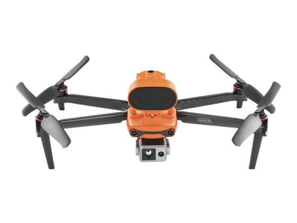
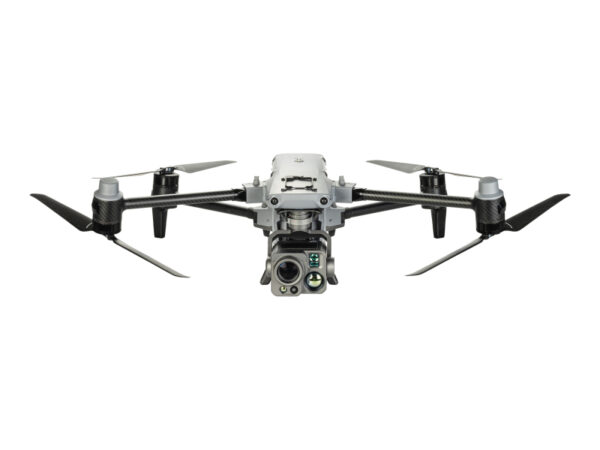
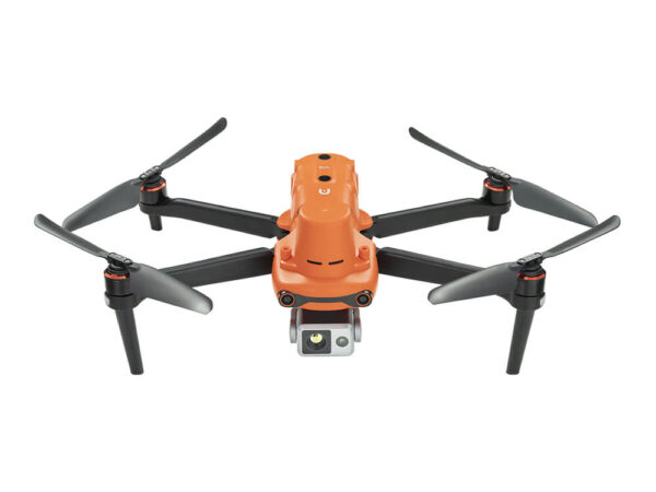
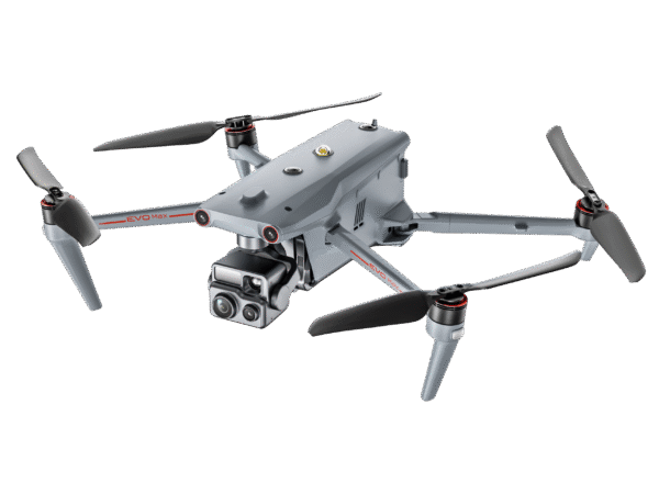
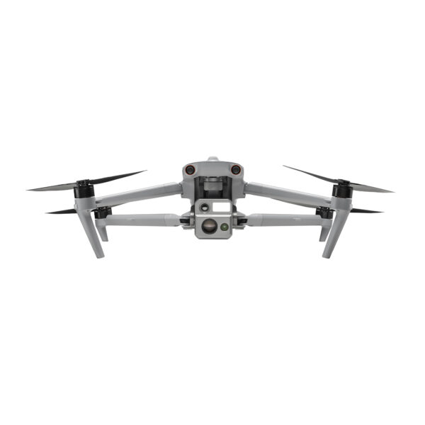
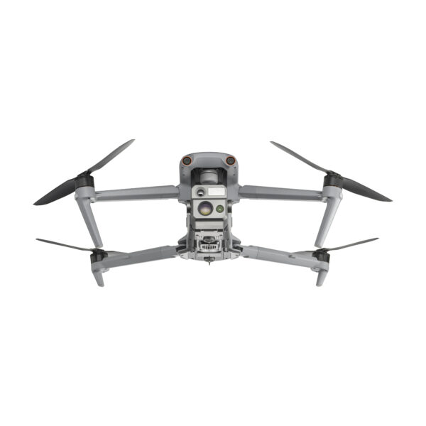
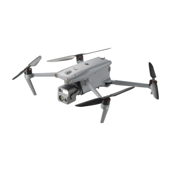
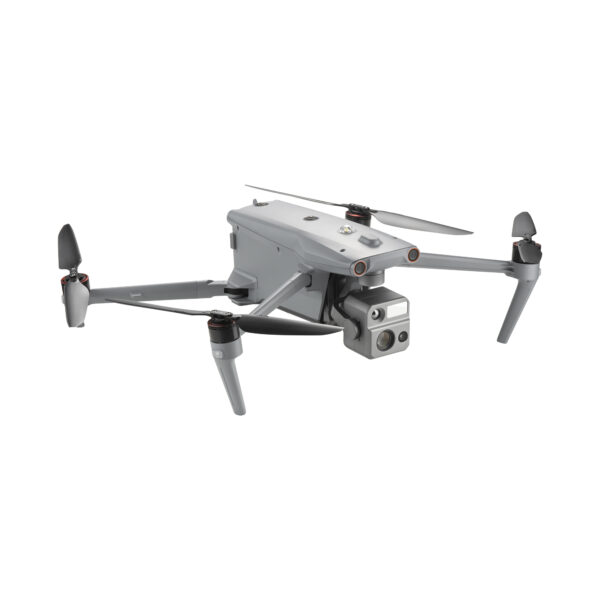
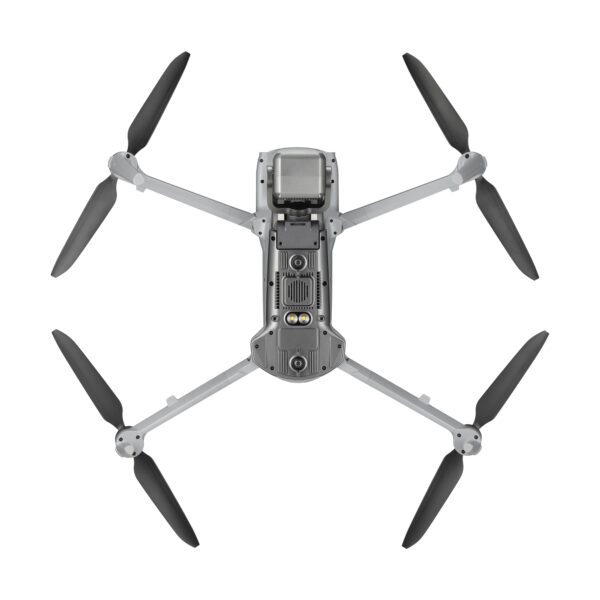
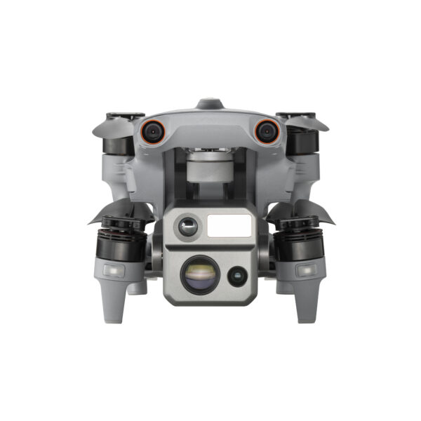
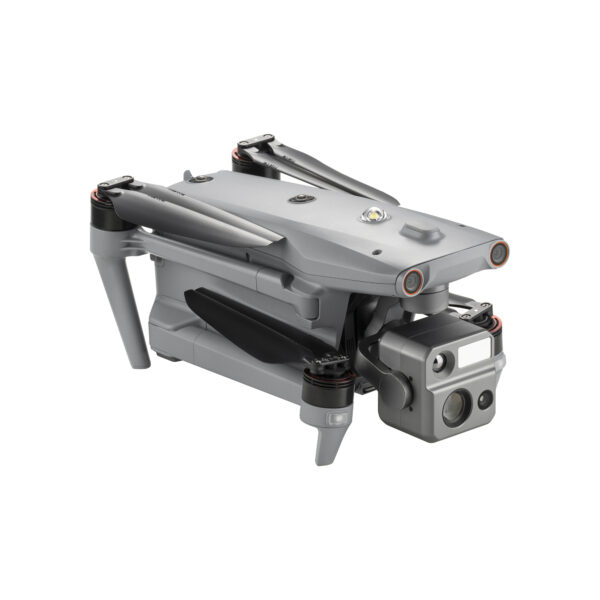
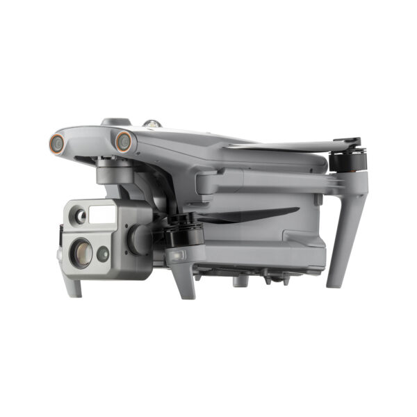
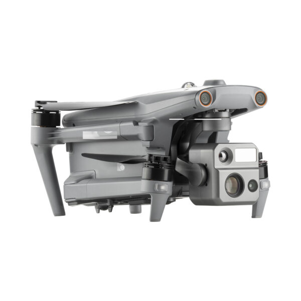
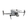
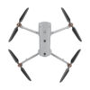
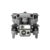
EVO MAX 4N has Integrated Super-starlight night vision, wide-angle and Thermal cameras with a laser rangefinder.
3D Map Planning | Multiple Mission Types | Data Security
Autel SkyLink 3.0 | 12.4 miles Transmission Range
-20° F~122° F temperature operation range
A-Mesh 1.0 | Mesh Networking Technology
Navigation in GPS Denied Environments
27 mph* Max. Wind Resistance
Anti Jam-Anti Interference
720° Obstacle Avoidance
42 mins Max Flight Time
IP43 ingress protection
EU C2 Class Certificate
Differences and Distinctions Between Aircraft
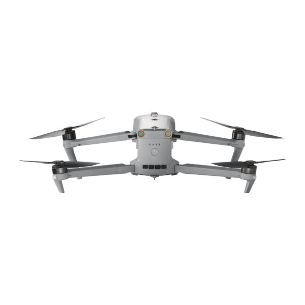
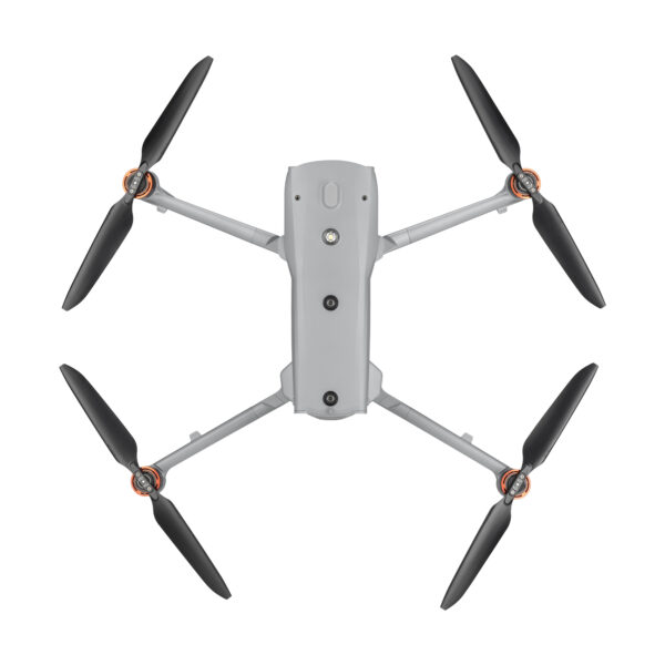
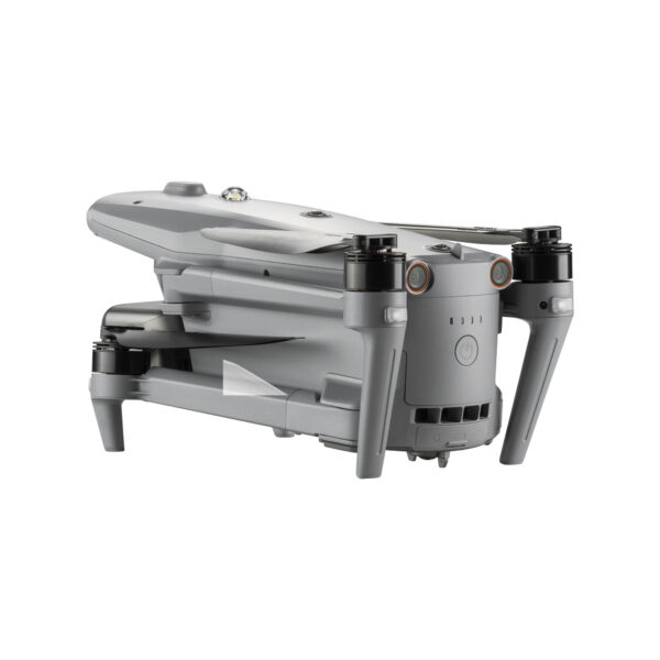
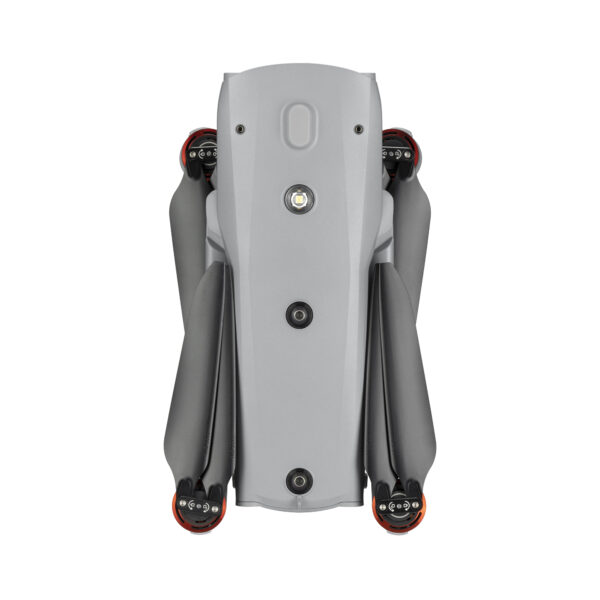
Compared to the EVO Max V1 series, the EVO Max Series V2 has refined the placement of the fisheye lens and navigation lights, further enhancing the UAV’s visual obstacle avoidance capabilities. The EVO Max Series V2 features side grooves for improved heat dissipation. Supports Battery In-place detection function.
The EVO Max series adopts Autel Autonomy’s autonomous flight technology, achieving global path planning, 3D scene reconstruction, autonomous obstacle avoidance, and return-to-home in complex environments. With the capability of precise navigation without GNSS, it offers high-precision visual navigation in scenarios where GNSS signals are blocked, weak, or heavily interfered with, ensuring stable and reliable flight with high accuracy and low latency. The industry’s first A-Mesh networking technology supports the free networking of multiple devices, achieving integrated air-ground network coverage. Featuring a “dual fisheye vision + millimeter-wave radar” multi- sensor fusion perception technology, it has 720° omnidirectional sensing and obstacle avoidance capabilities. The EVO Max series is equipped with the FusionLight camera 4T and FusionLight camera 4N, integrating a zoom camera, an ultra-starlight level night vision camera, an ultra-sensitive wide-angle camera, a thermal imaging camera, and a laser rangefinder. It efficiently empowers public safety, energy inspection, emergency management, and other fields, setting a new benchmark for industry applications of drones.
EVO MAX 4N –A Leader of Drone Intelligence
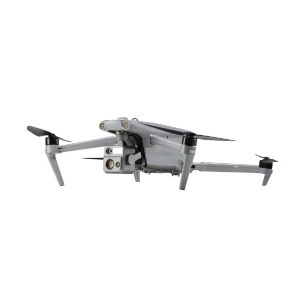
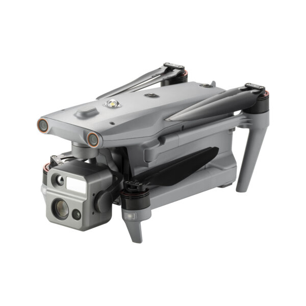
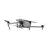
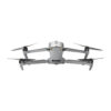
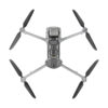
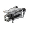
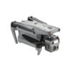
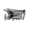
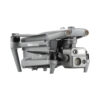
The EVO Max 4N brings powerful technologies and advanced autonomy to users. EVO Max 4N assesses complex environments to create real-time 3D flight paths for unparalleled obstacle avoidance.Advanced sensors make flight in GPS unavailable areas possible and the incredible new thermal payload unlocks new object identification and tracking scenarios.With a foldable, weather-resistant design, the EVO Max 4N is as portable as it is capable.
Autonomous Path Finding:Autel’s Autonomy Engine collects surrounding environmental data and plans 3D flight paths through complex environments such as mountains, forests, and buildings. Use cases include rapid 3D scene reconstruction, public safety overwatch, industrial inspection, and land surveying.
Navigation in GPS Denied Environment: Advanced sensors allow the EVO Max 4N to navigate within hardened structures, underground, or in environments without GPS.
Accurate Object Identification and Tracking : Based on Autel’s AI recognition technology, the EVO Max 4N can automatically identify and lock onto different types of targets such as heat sources, moving people, or vehicles and achieve high-altitude tracking and data collection for law enforcement.
No Blind Spots-Ultimate Obstacle Avoidance
EVO Max 4N is the only commercial drone that combines traditional binocular vision systems with millimeter wave radar technology. This allows the EVO Max 4N’s onboard Autel Autonomy Engine to perceive objects down to 0.5 inch, eliminating blind spots and enabling operation in low light or rainy conditions.
Anti Jam-Anti Interference
The EVO Max 4N uses advanced flight control modules and algorithms specially designed to counter RFI, EMI, and GPS spoofing. This enables the EVO Max 4N to fly confidently near power lines, critical structures, and in complex areas.
Weather Rating-IP43
A-Mesh 1.0 – The Drone Industry’s First Mesh Networking Technology
EVO Max 4N features the new A-Mesh system, enabling drone-to-drone autonomous communication, connection, and collaboration.
Strong Anti-Interference: The EVO Max 4N can communicate seamlessly with other drones in the vicinity, unlike a traditional chain structure. If a single drone fails or exits unexpectedly, the entire system will independently self-organize and continue to relay critical information.
Beyond-Line-of-Sight Applications: With A-Mesh, multiple aircrafts in the vicinity can act as relay points to greatly improve BVLOS operation effectiveness
Full-Fleet Control:Multiple drones can be controlled autonomously by 1 pilot or by a group of pilots simultaneously with or without LTE coverage.
Enhanced Range: Communication nodes can be placed statically on hills or poles to provide full coverage to an area, or a swarm of drones can provide mobile communication points to extend the coverage of the entire group.
Autel SkyLink 3.0
The EVO Max 4N SkyLink 3.0 system comes with 6 antennas, 4 frequency bands, AES-256 encryption*, and optional 4G integration* to provide users with the most advanced flight capabilities ever in an EVO.
900MHz/2.4GHz/5.2GHz/5.8GHz** : Frequency Bands <150ms Latency
Mission Ready Payload
The payload integrates starlight camera,wide-angle camera, thermal camera and a laser rangefinder for all data capture needs and critical decision making.
Starlight Camera: Explore the Night, 2.3MP
LUX: 0.0001, ISO: 450000
Equivalent: 41.4 mm
The Autel Enterprise App is built from the ground up for industrial applications and features a brand-new interface for simple, efficient operation. Additional features and semi-autonomous modes maximize the EVO Max 4N’s mission capability.
Smart Features
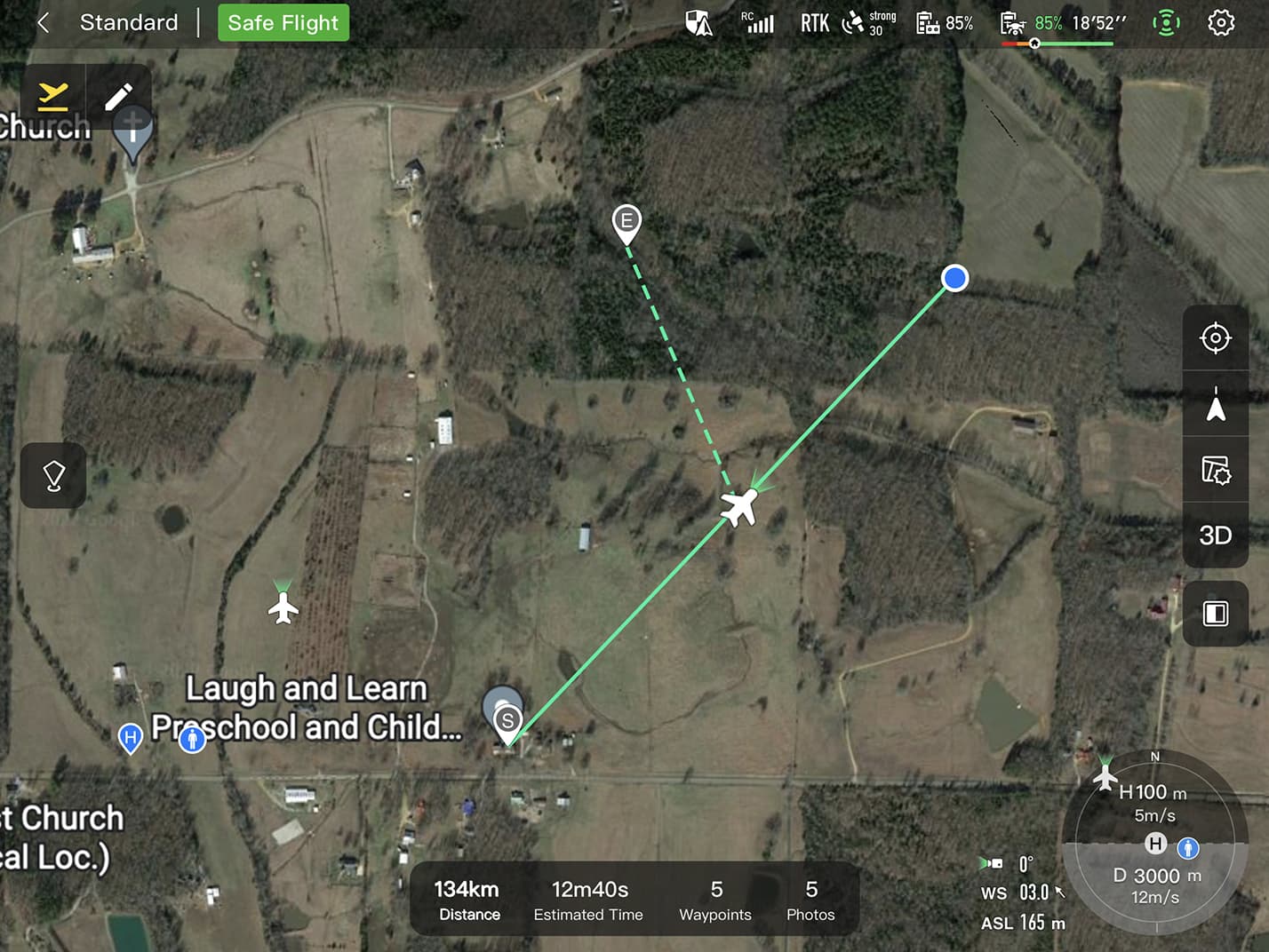
3D Map Planning: Plan, create, and execute 3D waypoint mission plan on a 3D map.
Quick Mission: Temporary quick missions can be created while executing other missions, and multiple sub-missions can be stacked for enhanced flexibility.
Mission Reproduction: With this feature activated, fly a manual or semi-autonomous mission, or string multiple missions together. The EVO Max4N will automatically record the camera angles and replicate the mission you just flew.
Multiple Mission Types
The Enterprise App provides various autonomous and semi autonomous mission planning for public safety, inspection, and surveying.
Terrain Follow: Maintain relatively constant altitude from the ground for uneven or sloped terrain.
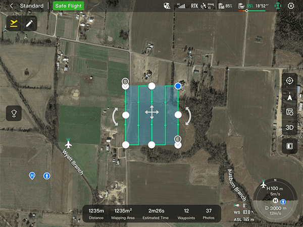
Rectangular Mission: One-click automatic generation of a rectangular flight area.
Automatic Mission Generation And Data Capture:Automatically produce routes by adding regional boundary points through dots or importing KML files. Waypoint Missions :Users can add waypointsfor flexible, non-structured flight paths.
Oblique Photography:Automatically plan 5 groups of routes (1 ortho + 4 oblique) according to the flight area set by the user. Spiral Mission:Supports helical flight search in a designated area for SAR.
Vertical Scan:Perform vertical surveys for building facades, open pit walls, and towers. Corridor Mission:Supports intuitive and effective corridor mission planning for roads, rivers, pipelines, power lines and other narrow,large-scale terrain.
Data Security
Privacy Protection: Data involving user and aircraft information, including flight logs, locations,and account information can only be physically accessed via the aircraft locally.
Encrypted Data Storage: Supports AES-256 encryption for photos, videos, and flight logs, are password-protected.
Enhanced Live-View
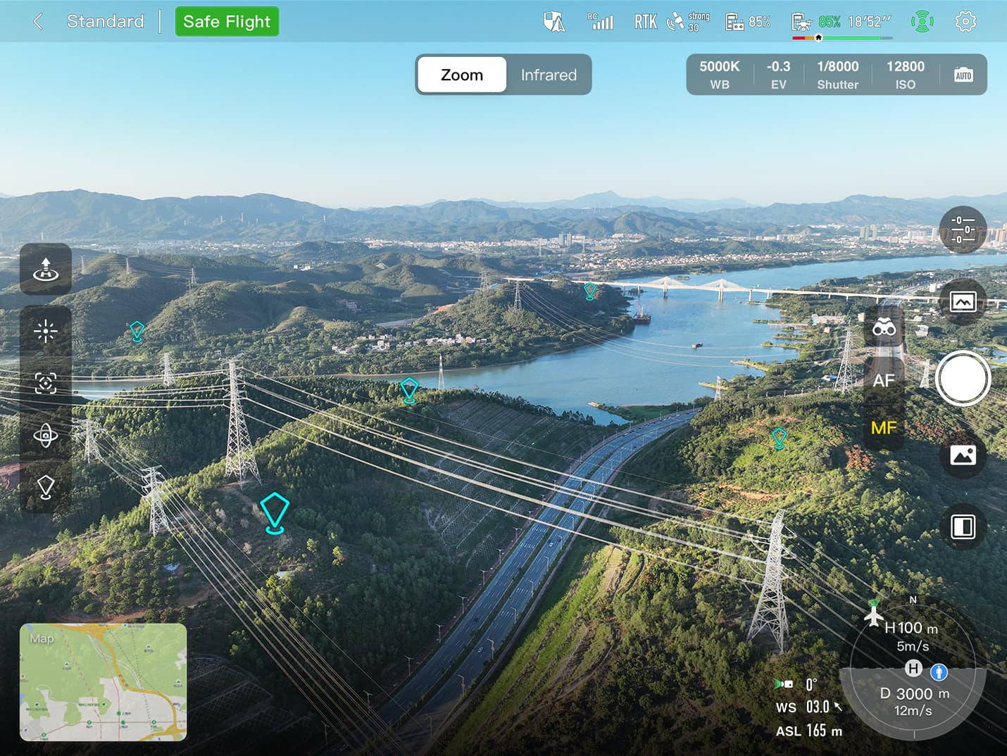
Multi-channel Projection Screen:Supports simultaneous output of RGB, infrared, night vision, and wide-angle images.
AR Scene:Geo-location data and other aircraft location info detected by ADS-B can overlay on real-time map, which is convenient for users to confirm the drone’s location and avoid airborne risks.
Autel SDK
The Autel SDK is open to the world, helping developers and partners reduce software and hardware development costs and jointly create a new industry ecosystem.(Note: Only mobile SDK is availbel at this moment,other 2 not released yet)
Widely Application
Product Specifications
Drone
EVO Max 4T V2 Weight
1665 g (ABX41-D smart battery, Fusion 4T V2 gimbal, and propellers included)
EVO Max 4N V2 Weight
1700 g (ABX41-D smart battery, Fusion 4N V2 gimbal, and propellers included)
EVO Max 4NZ V2 Weight
1715 g (ABX41-D smart battery, Fusion 4NZ-L V2 gimbal, and propellers included)
Maximum Take-Off Mass
1999 g
1890 g (for C2 Certification in EU)
Fuselage Dimensions
563×657×147 mm (unfolded, incl. propellers)
Diagonal Wheelbase
Diagonal: 467 mm
Propeller Size
11 inch, 1158
Propeller Pitch
5.8 inch
Propeller Material
Nylon + Carbon Fiber
Propeller Weight
10.3 g
Maximum Propeller Rotational Speed
7500 RPM
Operating Temperature
-20℃ to +50℃ (without load)
-20℃ to +40℃ (full load)
Internal Storage
128GB internal storage, with 64GB of available space*
* Remaining available space will vary with different firmware versions.
Supported microSD Cards
Supports Class 10, UHS-3 or higher microSD cards, up to 1TB
GNSS
GPS + Galileo + BDS + GLONASS
Hot Swap Battery
Supported*
* The hot swap battery function must be enabled in the flight application in advance.
Strobe
Integrated
Flight Performance
Max Ascent Speed
Slow: 2.5 m/s
Smooth: 3 m/s
Standard: 6 m/s
Ludicrous: 8 m/s
Max Descent Speed
Slow: 2.5 m/s
Smooth: 3 m/s
Standard: 6 m/s
Ludicrous: 6 m/s
Max Flight Speed*
Slow: 3 m/s
Smooth: 10 m/s
Standard: 15 m/s (forward & backward), 10 m/s (sidewards)
Ludicrous: 23 m/s (forward), 18 m/s (backward), 20 m/s (sidewards)
* Windless Near Sea Level.
Max Service Ceiling Above Sea Level
4500 meters (use ABX41-D smart battery)
Max Flight Altitude*
Chinese Mainland or EU Laws: No more than 120 meters
US Law: No more than 400 feet
* The altitude can be set from 20 to 800 meters in the flight application. To set altitude higher than required by law, authority approval is required.
Max Flight Time*
42 minutes
* Test data from lab with windless environment in the speed of 8 m/s during horizonal flight and only for reference.
Max Flight Distance*
25 km
* Test data from lab with windless environment in the speed of 14 m/s during horizonal flight and only for reference.
Max Hover Time*
37 minutes
* Test data from lab with windless environment during hovering and only for reference.
Max Wind Speed Resistance
12 m/s
Max Pitch Angle
Slow: 10°
Smooth: 30°
Standard: 30°
Ludicrous: 36°
Max Angular Velocity
Pitch axis: 300°/s
Yaw axis: 120°/s
Hovering Accuracy
Vertically
±0.1 m (when visual positioning works normally)
±0.5 m (when GNSS works normally)
Horizontally
±0.3 m (when visual positioning works normally)
±0.5 m (when high-precision positioning system works normally)
Wi-Fi
Protocol
802.11a/b/g/n/ac/ax
Operating Frequency
2.4G: 2.400–2.476GHz*,2.400–2.4835GHz
5.2G: 5.15-5.25GHz**,5.17-5.25GHz***
5.8G: 5.725-5.829GHz*,5.725-5.850GHz
* Only applies to SRRC regions
** Only applies to FCC, CE (Germany excluded) and UKCA regions
*** Only applies to Germany
Note: Some frequencies are only available in some regions or for indoor use only. For details, please refer to local laws and regulations.
Equivalent Isotropic Radiated Power (EIRP)
2.4G:
≤30dBm (FCC/ISED); ≤20dBm (CE/SRRC/UKCA)
5.2G:
≤30dBm (FCC); ≤23dBm (CE/UKCA)
5.8G:
≤30dBm (FCC/ISED/SRRC); ≤14dBm (CE/UKCA)
Video Transmission
Operating Frequency
900M: 902-928MHz*
2.4G: 2.400–2.476GHz**,2.400–2.4835GHz
5.2G: 5.15-5.25GHz***, 5.17-5.25GHz****
5.8G: 5.725-5.829GHz**,5.725-5.850GHz
* Only applicable to FCC and ISED regions.
** Only applicable to SRRC regions.
*** Only applicable to FCC, CE (Germany excluded) and UKCA regions
**** Only applies to Germany
Note: Some frequencies are only available in some regions or for indoor use only. For details, please refer to local laws and regulations.
The surface has rich textures, under a sufficient lighting environment (>15 lux, normal indoor fluorescent lighting environment).
Downwards:
The surface has rich textures, and the surface is a diffuse material with a reflectivity >20% (walls, trees, humans, etc.), under a sufficient lighting environment (>15 lux, normal indoor fluorescent lighting environment).
Millimeter-Wave Radar Sensing System
Transmission Frequency
24G: 24.0 – 24.25 GHz
60G: 60 – 64 GHz
Equivalent Isotropic Radiated Power (EIRP)
60G: ≤20dBm (CE/UKCA/FCC)
24G: ≤20dBm (CE/UKCA/FCC), ≤13dBm (SRRC)
Sensing Range
60G millimeter-wave radar:
Upward: 0.3 ~ 18 m @ high voltage transmission line
Downward: 0.15 ~ 40 m @ concrete floor
Forward & Backward: 0.15 ~ 18 m @ high voltage transmission line, with flight speed 10 m/s
Sidewards:0.15 ~ 18 m @ high voltage transmission line, with flight speed 10 m/s
24G millimeter-wave radar:
Downward: 0.8 ~ 12 m @ concrete floor
FOV
Horizontal (6dB): ±30°/±15° (60G/24G)
Vertical (6dB): ±40°/±15° (60GHz/24G)
Operating Environment
60G millimeter-wave radar sensing system:
Supports all-weather obstacle avoidance for glass, water, transmission line, buildings, and trees in 6 directions. Its obstacle avoidance distance varies with the obstacle’s ability to reflect electromagnetic waves and its surface size.
24G millimeter-wave radar sensing system:
Supports downward sensing, and its sensing range varies by the ground material. For example, the sensing range of cement ground is 12 meters, and the sensing range of grass with a thickness of more than 3 cm is less than 6 meters.
Gimbal
Fusion 4T V2
Gimbal Weight
214 g
Mechanical Range
Tile: -135° to 45°
Roll: -50° to 50°
Pan: -45° to 45°
Controllable Range
Tilt: -90° to 30°
Stabilization System
3-axis mechanical gimbal (tilt, roll, pan)
Max Control Speed
Tilt: 100°/s
Angular Vibration Range
<0.005°
Zoom Camera
Image Sensor
1/2″ CMOS. Effective pixels: 48M
Lens
DFOV: 40°-10.3°
Equivalent Focal Length: 64 – 234 mm
Aperture: f/2.8 – f/4.8
Focus: 2 m ~ ∞
ISO Range
Auto: ISO100 ~ ISO6400
Manual:ISO100 ~ ISO6400
Shutter Speed
Shooting: 8s ~ 1/10000s
Recording: 1/30s ~ 1/10000s
Zoom
2.7 – 10x continuous optical zoom, 20x hybrid zoom and 160x digital zoom
Photo Size
JPG: 4000×3000, 8000×6000
DNG: 4000×3000
Still Photography Mode
Single
Video Resolution
4000×3000@30fps
Max Video Bitrate
60Mbps
Video Format
MP4
Video Subtitles
Supported
Video Encoding
H.264/H.265
Supported File System
exFAT/FAT32
Wide-angle camera
Image Sensor
1/2″ CMOS. Effective pixels: 48M
Lens
DFOV: 83.4°
Equivalent focal length: 24 mm
Aperture: f/2.8
Focus: 1.5 m ~ ∞
ISO Range
Auto/Manual: ISO100 ~ ISO6400
Night Mode: ISO100 ~ ISO320000 (auto)
Shutter Speed
Shooting: 8s ~ 1/10000s
Recording: 1/30s ~ 1/10000s
Zoom
1 – 2.6x digital zoom
Photo Size
JPG: 4000×3000, 8000×6000
DNG: 4000×3000
Still Photography Mode
Single
Video Resolution
4000×3000@30fps
Night Mode: 2400×1800@30fps
Max Video Bitrate
60Mbps
Video Format
MP4
Video Subtitles
Supported
Video Encoding
H.264/H.265
Supported File System
exFAT/FAT32
Infrared Thermal Camera
Thermal Imager
Uncooled VOx Microbolometer
Lens
FOV: 61°
Focal length: 9.1 mm
Aperture: f/1.0
Focusing distance: 2.2 m ~ ∞
Equivalent Digital Zoom Rate
1-16x digital zoom
Noise Equivalent Temperature Difference
≤50mK@25℃, F#1.0
Pixel Pitch
12 um
Spectral Band
8 – 14 um
Temperature Measurement Method
Center Point Temperature Measurement/Spot Temperature Measurement/Area Temperature Measurement
Temperature Measurement Range
High Gain Mode: -20℃ to 150℃
Low Gain Mode: 0 to 550℃
Temperature Measurement Accuracy
±2℃ or reading ±2% (using the larger value) @ ambient temperature ranges from -10℃ to 50℃
Temperature Measurement Distance
1-100 m
Temperature Alert
In area temperature measurement, high and low temperature alarm thresholds, reporting coordinates and temperature values are supported
Palette
White Hot/Black Hot/Ironbow/Rainbow 1/Rainbow 2/Lava/Arctic/Ironbow/Medical/Tint
Photo Size
640×512
Still Photography Mode
Single
Photo Format*
JPG
* the images contain temperature information and are parsed by dedicated SDK and PC tools.
Video Resolution
640×512@30fps
Max Video Bitrate
10Mbps
Video Format
MP4
Supported File System
exFAT/FAT32
Laser Rangefinder
Wavelength
905 nm
Laser Safety
Class 1
Measuring Accuracy
± (1 m + D*×0.15%)
* Where D is the distance to a vertical reflecting plane.
Measurement Range
5 – 1200 m
Fusion 4N V2
Gimbal Weight
258 g
Mechanical Range
Tile: -135° to 55°
Roll: -50° to 50°
Pan: -45° to 45°
Controllable Range
Tilt: -90° to 30°
Stabilization System
3-axis mechanical gimbal (tilt, roll, pan)
Max Control Speed
Tilt: 100°/s
Angular Vibration Range
<0.005°
Night Vision Camera
Image Sensor
1.69″ CMOS. Effective pixels: 2.3M
Lens
DFOV: 52°±2°
Effective Focal Length: 11.2 mm
Aperture: f/1.4
Focus: 10 m ~ ∞
Pixel Pitch
12 um
ISO Range
Auto/Manual: ISO100 ~ ISO440000
Night Mode: ISO100 ~ ISO440000 (auto)
Shutter Speed
Shooting: 8s ~ 1/10000s
Recording: 1/30s ~ 1/10000s
Zoom
1 ~ 8x digital zoom
Photo Size
JPG: 1920×1200
Still Photography Mode
Single
Video Resolution
1920×1200@30fps
Max Video Bitrate
20Mbps
Video Format
MP4
Video Subtitles
Supported
Video Encoding
H.264/H.265
Supported File System
exFAT/FAT32
Wide-angle camera
Image Sensor
1/0.98″ CMOS. Effective pixels: 50M
Lens
DFOV: 85.01°
Equivalent focal length: 23.52 mm
Aperture: f/1.85
Focus: 0.5 m ~ ∞
ISO Range
Auto/Manual: ISO100 ~ ISO6400
Night Mode: ISO100 ~ ISO320000 (auto)
Shutter Speed
Shooting: 8s ~ 1/10000s
Recording: 1/30s ~ 1/10000s
Zoom
1 ~ 8x digital zoom
Photo Size
JPG: 4096×3072, 8192×6144
Still Photography Mode
Single
Video Resolution
4000×3000@30fps
Max Video Bitrate
60Mbps
Video Format
MP4
Video Subtitles
Supported
Video Encoding
H.264/H.265
Supported File System
exFAT/FAT32
Infrared Thermal Camera
Thermal Imager
Uncooled VOx Microbolometer
Lens
FOV: 61°
Focal length: 9.1 mm
Aperture: f/1.0
Focusing distance: 2.2 m ~ ∞
Equivalent Digital Zoom Rate
1-16x digital zoom
Noise Equivalent Temperature Difference
≤50mK@25℃, F#1.0
Pixel Pitch
12 um
Spectral Band
8 – 14 um
Temperature Measurement Method
Center Point Temperature Measurement/Spot Temperature Measurement/Area Temperature Measurement
Temperature Measurement Range
High Gain Mode: -20℃ to 150℃
Low Gain Mode: 0 to 550℃
Temperature Measurement Accuracy
±2℃ or reading ±2% (using the larger value) @ ambient temperature ranges from -10℃ to 50℃
Temperature Measurement Distance
1 – 100 m
Temperature Alert
In area temperature measurement, high and low temperature alarm thresholds, reporting coordinates and temperature values are supported
Palette
White Hot/Black Hot/Ironbow/Rainbow 1/Rainbow 2/Lava/Arctic/Ironbow/Medical/Tint
Photo Size
640×512
Still Photography Mode
Single
Photo Format*
JPG
* the images contain temperature information and are parsed by dedicated SDK and PC tools.
Video Resolution
640×512@30fps
Max Video Bitrate
10Mbps
Video Format
MP4
Supported File System
exFAT/FAT32
Laser Rangefinder
Wavelength
905 nm
Laser Safety
Class 1
Measuring Accuracy
± (1 m + D*×0.15%)
* Where D is the distance to a vertical reflecting plane.
Measurement Range
5 – 1200 m
Fusion 4NZ-L V2
Fusion 4NZ-L V2
Gimbal Weight
263 g
Mechanical Range
Tile: -135° to 50°
Roll: -50° to 50°
Pan: -45° to 45°
Controllable Range
Tilt: -90° to 30°
Stabilization System
3-axis mechanical gimbal (tilt, roll, pan)
Max Control Speed
Tilt: 100°/s
Angular Vibration Range
<0.005°
Wide-angle Night Vision Camera
Image Sensor
1/1.2″ CMOS. Effective pixels: 8M
Lens
DFOV: 45°
Equivalent Focal Length: 53.9 mm
Aperture: f/1.55±5%
Focus: 20 m ~ ∞
Pixel Pitch
2.9 um
ISO Range
Auto/Manual: ISO100 ~ ISO100000
Night Mode: ISO100 ~ ISO100000
Shutter Speed
Shooting: 1/30s ~ 1/10000s
Recording: 1/30s ~ 1/10000s
Zoom
1 ~ 3.2x digital zoom
Photo Size
JPG: 3840×2160
Still Photography Mode
Single
Video Resolution
3840×2160@30fps
Night Mode: 2720×1528@30fps
Max Video Bitrate
50Mbps
Video Format
MP4
Video Subtitles
Supported
Video Encoding
H.264/H.265
Supported File System
exFAT/FAT32
Telephoto Night Vision Camera
Image Sensor
1/1.2″ CMOS. Effective pixels: 8M
Lens
DFOV: 16.3°
Equivalent focal length: 147.3 mm
Aperture: f/1.75±5%
Focus: 20 m ~ ∞
Pixel Pitch
2.9 um
ISO Range
Auto/Manual: ISO100 ~ ISO100000
Night Mode: ISO100 ~ ISO100000
Shutter Speed
Shooting: 1/30s ~ 1/10000s
Recording: 1/30s ~ 1/10000s
Zoom
3.3 ~ 16x digital zoom
Photo Size
JPG: 3840×2160
Still Photography Mode
Single
Video Resolution
3840×2160@30fps
Night Mode: 2720×1528@30fps
Max Video Bitrate
50Mbps
Video Format
MP4
Video Subtitles
Supported
Video Encoding
H.264/H.265
Supported File System
exFAT/FAT32
Infrared Thermal Camera
Thermal Imager
Uncooled VOx Microbolometer
Lens
FOV: 22°
Focal Length: 25 mm
Aperture: f/1.2
Focusing Distance: 13 m ~ ∞
Equivalent Digital Zoom Rate
1-16x digital zoom
Noise Equivalent Temperature Difference
≤50mK@25℃, F#1.0
Pixel Pitch
12 um
Spectral Band
8 – 14 um
Temperature Measurement Method
Center Point Temperature Measurement/Spot Temperature Measurement/Area Temperature Measurement
Temperature Measurement Range
High Gain Mode: -20℃ to 150℃
Low Gain Mode: 0 to 550℃
Temperature Measurement Accuracy
±3℃ or reading ±3% (using the larger value) @ ambient temperature ranges from -10℃ to 50℃
Temperature Measurement Distance
1 – 100m
Temperature Alert
In area temperature measurement, high and low temperature alarm thresholds, reporting coordinates and temperature values are supported
Palette
White Hot/Black Hot/Ironbow/Rainbow 1/Rainbow 2/Lava/Arctic/Ironbow/Medical/Tint
Photo Size
640×512
Still Photography Mode
Single
Photo Format*
JPG
* the images contain temperature information and are parsed by dedicated SDK and PC tools.
Video Resolution
640×512@30fps
Max Video Bitrate
10Mbps
Video Format
MP4
Supported File System
exFAT/FAT32
Laser Rangefinder
Wavelength
905 nm
Laser Safety
Class 1
Measuring Accuracy
± (1 m + D*×0.15%)
* Where D is the distance to a vertical reflecting plane.
Measurement Range
5 – 1200 m
Infrared laser fill light
Laser Safety
Class 3B
FOV
Telephoto: 8°*
* The maximum fill light distance is 200 meters.
Wide-angle: 30°**
** The fill light effect is better at a distance of 50 meters.
Remote Controller
Autel Smart Controller V3
Body Material
PC+ABS
RC Dimensions
269×189×87 mm (antennas folded, sticks and bracket included)
269×189×173 mm (antennas vertical to screen, sticks and bracket included)
269×302×87 mm (antennas unfolded, sticks and bracket included)
RC Weight
1195 g (smart controller cover excluded)
1365 g (smart controller cover included)
Operating Temperature
-20℃ to 40℃
Storage Temperature
+15℃ ~ +25℃ (within a year)
0℃ ~ +30℃ (within three months)
-20℃ ~ +45℃ (within a month)
Ingress Protection Rating
IP43*
* Long-term use may cause failure.
System Performance
Operating System
Based on Android 11
Pre-installed flight Application
Autel Enterprise
Application Installation
Supports the installation of third-party Android applications
Video Performance
Smooth playback of 4K@24fps H.264/H.265 videos
Internal Storage
128GB*
* Does not support microSD card extension.
GNSS
GPS + Galileo + BDS + GLONASS
Port
HDMI
Outputs up to 1080P@60fps video
USB-C
Charging: supports PD 60W fast charging and QC 18W fast charging.
Data: USB3.1 Gen2
USB-A
Power: 5V/2A
Data: USB2.0
Wi-Fi
Protocol
802.11a/b/g/n/ac
Operating Frequency
2.4G: 2.400–2.476GHz*, 2.400–2.4835GHz
5.8G: 5.725-5.829GHz*, 5.725-5.850GHz
* Only applies to SRRC region
Note: Some frequencies are only available in some regions or for indoor use only. For details, please refer to local laws and regulations.
Equivalent Isotropic Radiated Power (EIRP)
2.4G: ≤30dBm (FCC/ISED); ≤20dBm (CE/SRRC/UKCA)
5.8G: ≤30dBm (FCC/ISED/SRRC); ≤14dBm (CE/UKCA)
Bluetooth
Protocol
Bluetooth 5.0
Operating Frequency
2.400 – 2.4835 GHz
Note: In some regions, frequency range is specified. For details, please refer to local laws and regulations.
Effective Isotropic Radiated Power (EIRP)
≤20dBm
Video Transmission
Antenna
Dual antennas, 1T2R, detachable design
Operating Frequency
900M: 902-928MHz*
2.4G: 2.400–2.476GHz**, 2.400–2.4835GHz
5.8G: 5.725-5.829GHz**, 5.725-5.850GHz
* Only applicable to FCC and ISED regions.
** Only applicable to SRRC region.
Note: Some frequencies are only available in some regions or for indoor use only. For details, please refer to local laws and regulations.
Effective Isotropic Radiated Power (EIRP)
900M: ≤30dBm(FCC/ISED)
2.4G: ≤30dBm(FCC/ISED); ≤20dBm(CE/SRRC/UKCA)
5.8G: ≤30dBm(FCC/ISED/SRRC);≤14dBm (CE/UKCA)
Max Transmission Distance*
FCC: 15 km
SRRC/CE: 8 km
* Without Interference and Blocking.
Display
Type
TFT LCD
Dimensions
7.9 inches
Resolution
2048×1536
Max Brightness
2000 nits
Refresh Rate
60Hz
Touch Control
Supported
Battery
Battery Replacement
Built-in, not supported
Battery Type
Li-Po 3S
Rated Capacity
5800 mAh
Rated Energy
67 Wh
Voltage
11.55V
Charging Time
About 120 minutes*
* Charging time depends on the actual remaining power.
Battery Endurance
Max brightness: 2.5 hours
50% brightness: 4.0 hours
Smart Battery
ABX41-D Smart Battery
Battery Weight
530 g
Battery Dimension
158.4×74.3×50.7 mm
Operating Temperature
-20℃ to 50℃
Storage Temperature
-20℃ to +35℃
Ideal Storage Environment
+22℃ to +28℃, 65±20%RH, 60% battery level
Battery Type
Li-Po 4S
Rated Capacity
9248mAh
Rated Energy
136.5Wh
Voltage
DC 14.76V
Charging Voltage Limit
DC 17.0V
Rated Charging Power
120W
Max Charging Power
282W
Battery Charge Temperature
+5℃ to +45℃*
* When the battery temperature is below +5℃, the battery stops charging and activates self-heating. When the battery temperature is above +45℃, the battery stops charging.
Service life
200 discharge cycles*
* If the number of discharge cycles exceeds 200, the battery should be replaced with a new one.

 Pakiautomaati 1-3 tööpäeva
 Pakiautomaati 1-3 tööpäeva
 EVO MAX 4N –A Leader of Drone Intelligence