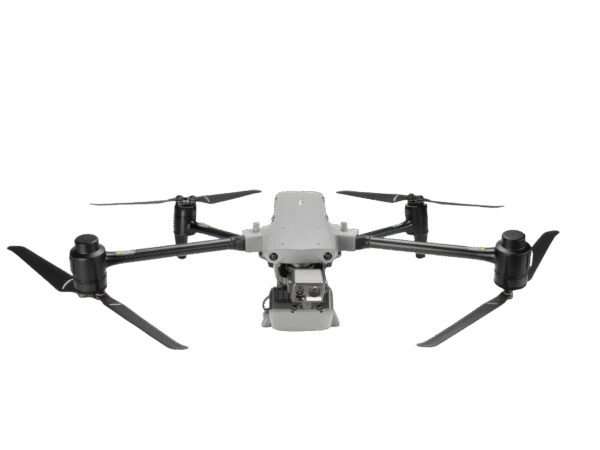
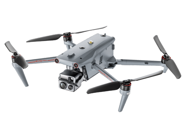
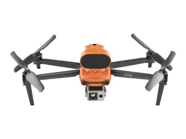
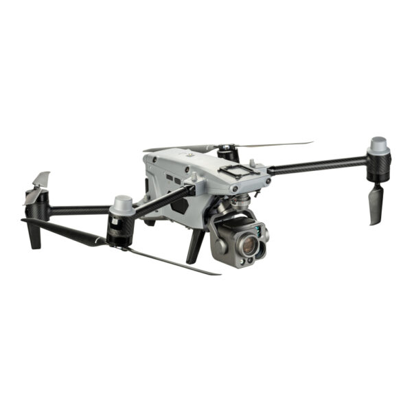
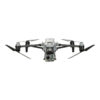
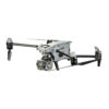
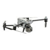
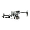
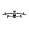
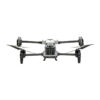
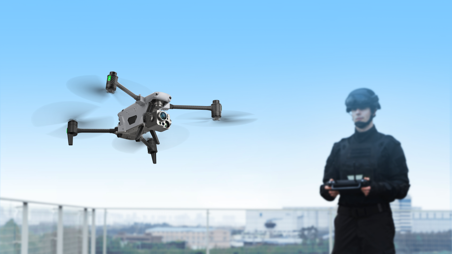
Autel Alpha is an intelligent industrial drone for multi-purpose, boasting significant enhancements in autonomous flight capabilities, anti-interference capabilities, obstacle avoidance capabilities, transmission technology, and battery systems. With a foldable design and IP55-rating level, it tackles challenging environments. The built-in RTK dual-antenna system ensures precise control within millimeters when carrying out the missions. The DG-L35T gimbal integrates a 560x super hybrid zoom camera, dual thermal imaging cameras, an ultra-sensitive starlight night vision camera, and a laser rangefinder, providing more specialized and comprehensive solutions for public safety, energy inspections, emergency management.
Insight Beyond Limits
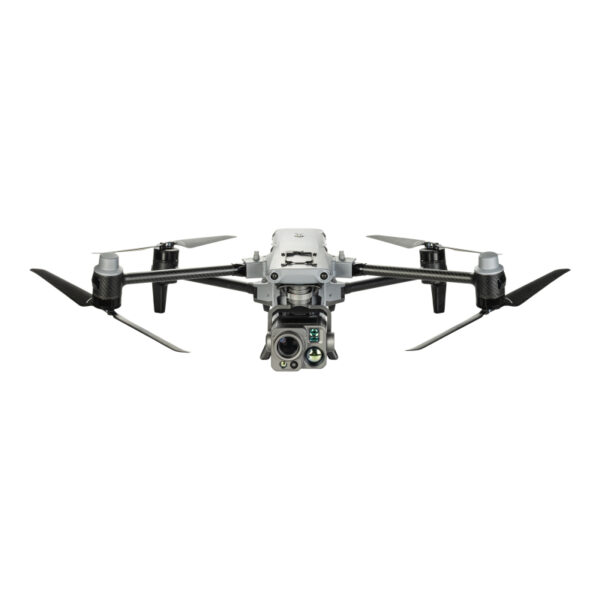
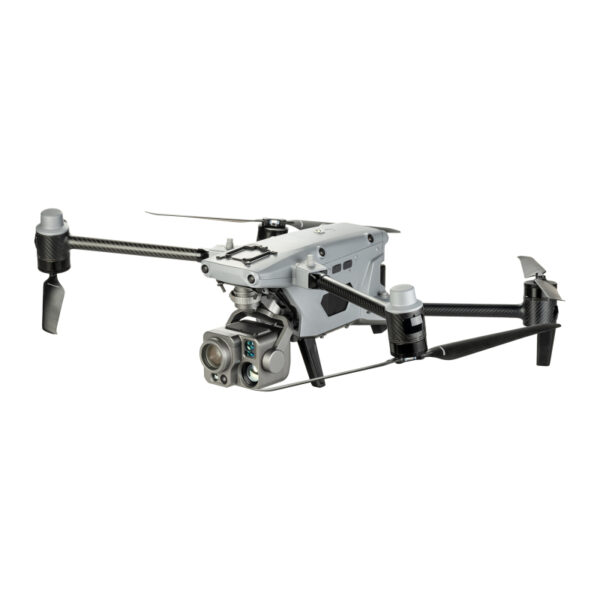
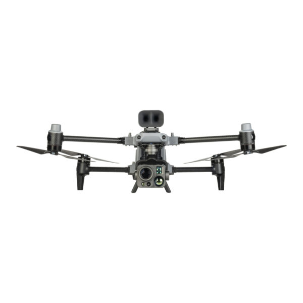
Autel DG-L35T Gimbal integrates dual thermal imaging cameras (short/long focal length), a 4K 35x night vision Zoom camera, a wide-angle camera and a laser rangefinder.
Super Zoom
Supports 4K 35x optical zoom and 560x max. hybrid zoom with clear observation up to 5 miles away. Efficiently empower applications such as long-distance inspection.
Strong Infrared Perception
Equipped with a 56x hybrid zoom, dual thermal imaging lenses, with a resolution of 640*512. Utilizing a 13mm short-focus lens and a 45mm long-focus lens, catering to both wide and global view.
Wide camera
Has an effective pixel count of 48 million, supporting a maximum photo resolution of 8000 x 6000 and a video resolution of 4000 x 3000 and 25 frames per second, meeting the needs of various shooting scenarios.
Accurate ranging
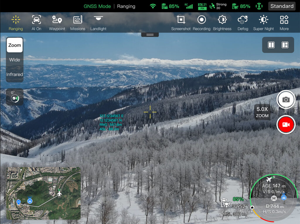
Tap a target to obtain the coordinates and altitude rapidly from up to 1.24 miles away
Exceptional Anti-Interference Capability
Autel Alpha’s high-precision visual positioning capabilities, adaptive frequency-hopping and SLAM navigation technology empowers resistance from interference and enables the drone to fly confidently near powerlines, critical structures and in complex areas.
A-Mesh Networking
With integrated A-Mesh technology, the drone can establish networks between drones and controllers, supporting various working modes such as “single- controller multiple drones” and “master-slave dual control”. Even in scenarios with long distances and obstacles, such as mountains, buildings, or areas without public network, it can achieve multi-device networking, enabling drone-to-drone autonomous communication, connection, and collaboration.
Auto Path Finding
Autel’s Autonomy Engine collects surrounding environmental data and plans 3D flight paths through complex environments such as mountains, forests, and buildings. Use cases include rapid 3D scene reconstruction, public safety overwatch, industrial inspection, and land surveying.
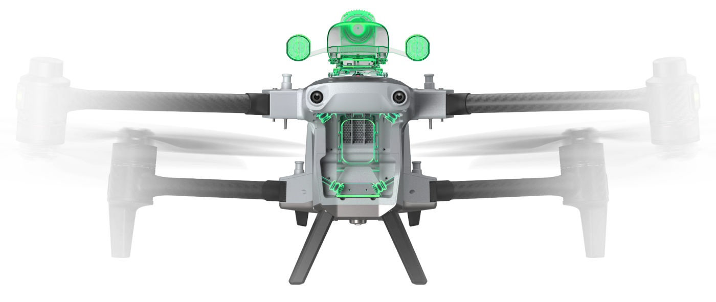
720° Omnidirectional Obstacle Avoidance
By integrating multi-source sensor fusion technology, including 5-direction dual fisheye vision + 6-direction millimeter-wave radar, the drone is equipped with 720° omnidirectional perception and obstacle avoidance capabilities. Additionally, it supports nighttime obstacle avoidance for flight safety
Platform Capabilities
Redefines proficiency with its robust platform and all weather design.
Weather rating: IP55
Wind Resistance: 27 Mph
Service Ceiling: 23,000 ft*
Operation Temperature: -20℃ to 50℃
Hot-Swappable Batteries
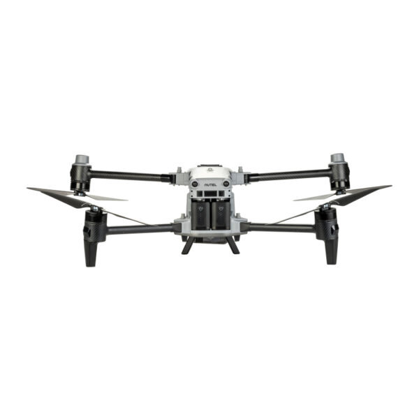
With a dual-battery design, supporting hot-swappable batteries, providing a runtime up to 40 minutes, enabling seamless and efficient operations.
Multiple Payload Capability
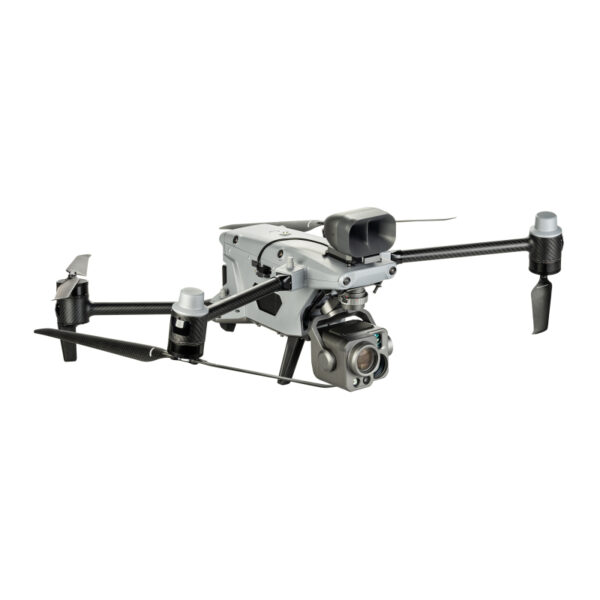
The aircraft features three mounting interfaces: mounting interfaces. The Autel PSDK developer platform is open for creating a new industry ecosystem such as searchlights, loudspeakers, 4G/5G modules, and more.
Skylink 3.0
With Skylink 3.0, the system comes with 4 antennas, 4 Frequency bands, enabling a transmission distance of up to 20 kilometers. It supports auto frequency hopping on 900MHz/2.4GHz/5.2GHz/5.8GHz*, automatically selecting the optimal channel based on electromagnetic interference for robust anti-interference capabilities, featuring a high transmission of 64Mbps and low transmission latency.
12.4 miles
Image Transmission Distance
1080P/30FPS
Real-Time Image Quality900MHz/2.4GHz/5.2GHz/5.8GHz*Frequency Bands* 5.2 GHz is applied only to FCC, CE, and UKCA regions, while 900 MHz only to FCC regions.
Autel Enterprise
App Platform
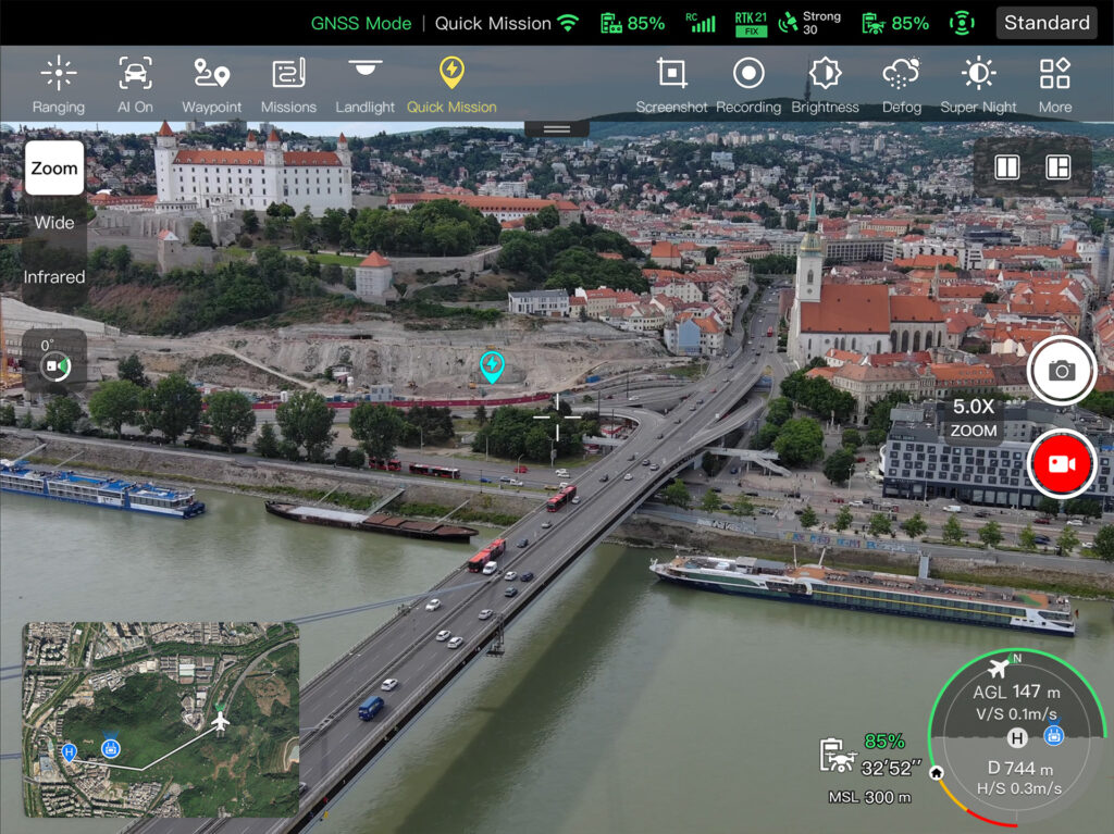
The Autel Enterprise App is built from the ground up for industrial applications and features a brand-new interface for simple, efficient operation. Additional features and semi-autonomous modes maximize the Autel Alpha’ mission capability.
Multiple Mission Types
Quick Missions
Temporary quick missions can be created while executing other missions, and multiple sub-missions can be stacked for enhanced flexibility.
Waypoint Missions
Users can add waypoints for flexible, non-structured flight paths
Polygon Missions
Supports one-klick automatic generation of polygon flight areas.
Smart Functions
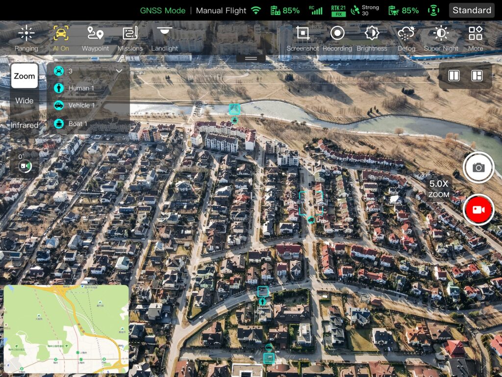
AI Target Recognition
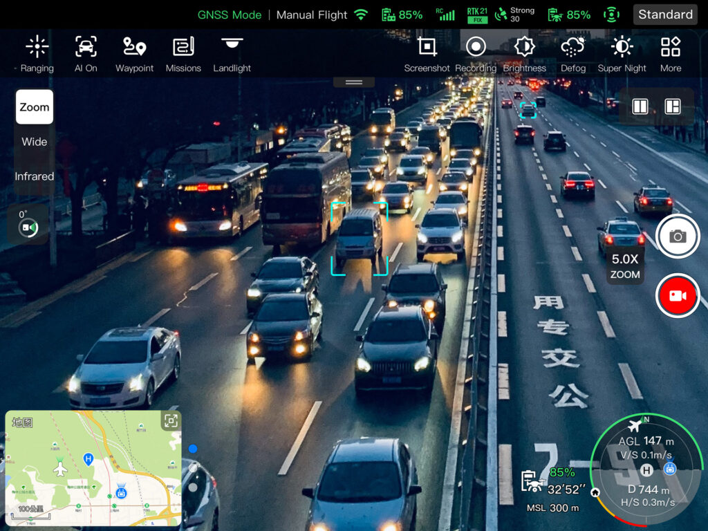
Based on Autel recognition technology, the Alpha can automatically identify and lock onto different types of targets such as humans, boats, or vehicles through zoom, wide, or infrared cameras, projecting the target’s location onto the map.
Laser Ranging
Click on the remote controller screen or map, it will show the target latitude, longitude, height and other information swiftly.
Tripod
The gimbal locks onto the target, and follows the target movements while hovering, ensuring the target remains at a center of the frame.
Data Security
Privacy protection: Data involving user and aircraft information, including flight logs, locations, and account information can only be physically accessed via the aircraft locally. Encrypted Data Storage: Supports AES-256 encryption for photos, videos, and flight logs, are password-protected.
Autel SDK
The Autel SDK is open to the world, helping developers and partners reduce software and hardware development costs and jointly create a new industry ecosystem.
Mobile SDK
Open UX SDK (iOS/Android) can directly call up the ready-made interactive interface.
Payload SDK
Unified interface standards support access to third-party mounts such as loudspeakers and 4G/5G modules.
Accessories
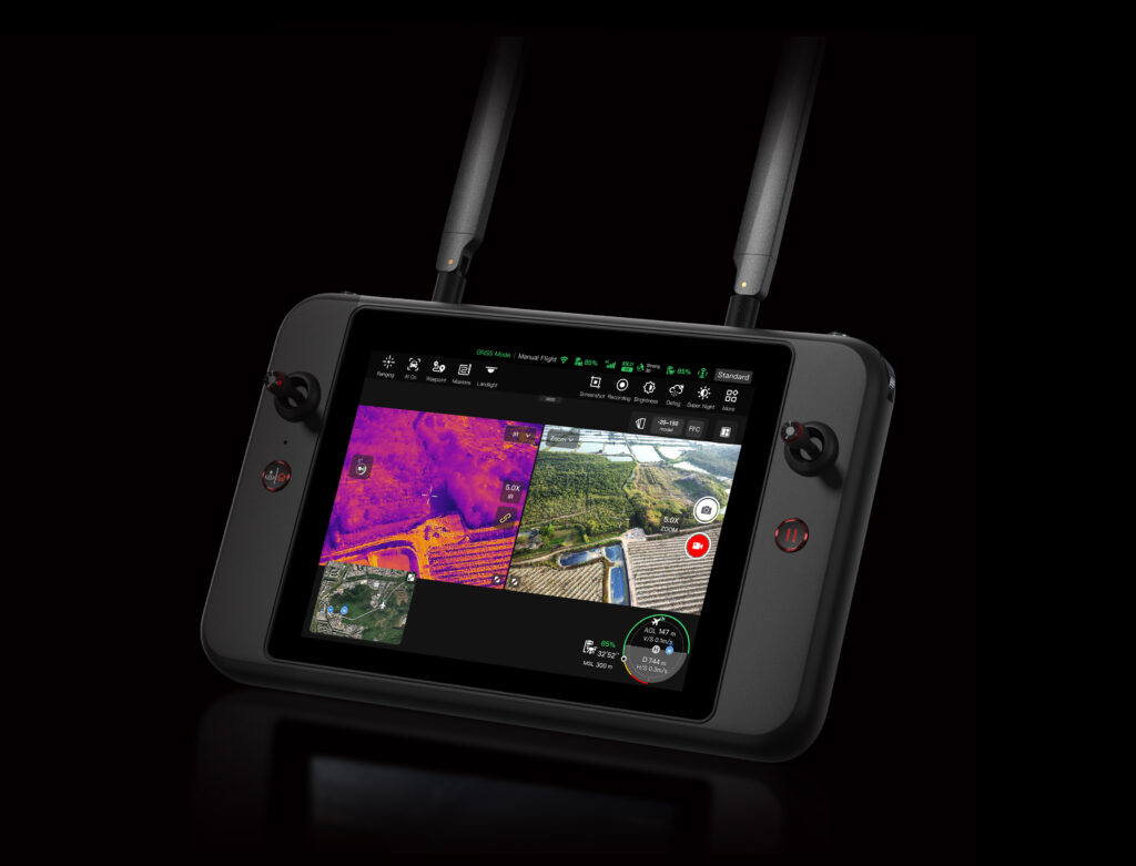
Autel Smart Controller V3
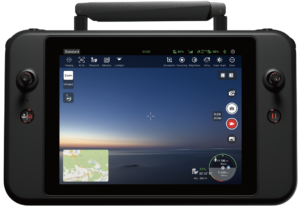
Daylight Readable Display: 7.9 inches, 2000nits maximum brightness, 2048*1536 resolution.
SuperDownload: Download footage from drones to mobile devices at a maximum rate of 20 MB/s.
Functional Interface: HDMI ports allow connection to 3rd party displays or monitors.
Ultra-Long Battery Life: Up to 4.5 hours of continuous operation. 2-hr fast charging from empty.
Storage: Built-in 128G storage space allows 3rd party apps and mission media storage.
Loudspeaker And Spotlight Combo (optional)
Dimension: 163×132×77mm
Electrical Interface: PSDK Interface
Installation Method: Standard quick release mount
Working Temperature: -10 ℃ to 50 ℃
Speaker: Power @10W; Sound pressure 114db@1 meter; Broadcasting Distance≥300 m
Spotlight: Follow gimbal pitch; Brightness level adjustment; 30° to -90° controllable
902 -928MHz
5.150 – 5.250GHz(CE: 5.170 – 5.250GHz)
2.400 – 2.4835GHz
5.725 – 5.850GHz
Some regions do not support certain frequency bands mentioned above, please refer to local laws and regulations for more details.
60GHz Millimeter-wave Radar Sensing System:
Supports all-weather obstacle avoidance for glass, water, wires, buildings, and trees in 6 directions: forwards, backwards, left, right, and above and below. Its
obstacle avoidance distance varies with the obstacle’s ability to reflect electromagnetic waves and its surface size.
24GHz Millimeter-wave Radar Sensing System:
Supports downward sensing, and its sensing range varies by the ground material. For example, the sensing range of cement ground is 20 meters, and the
sensing range of grass with a thickness of more than 3cm is less than 10 meters.
Visual Sensing system
Sensing System Type
Omnidirectional sensing system
Forward
0.2~31m
FOV:90°(H),90°(V)
Backward
0.2~26m
FOV:90°(H),90°(V)
Upward
0.2~45m
FOV:90°(H),90°(V)
Downward
0.2~45m
FOV:90°(H),90°(V)
Left And Right
0.2~45m
FOV:90°(H),90°(V)
Operating Environment
Forward, Backward, Sidewards, Upward:
Supports all-day, all-weather obstacle avoidance for obstacles such as glass, water surfaces, small branches, buildings, and power lines. Requires sufficient illumination conditions or strong reflection ability of obstacles to electromagnetic waves.
Downwards:
The surface has rich textures and adequate lighting conditions (>15 lux, in normal indoor lighting environments).
Forward, Backward, Upward, Downward:
Supports all-day, all-weather obstacle avoidance for obstacles such as glass, water surfaces, small branches, buildings, and power lines. Requires sufficient illumination conditions or strong reflection ability of obstacles to electromagnetic waves.
Sidewards:
The surface has rich texture, under a sufficient lighting environment (>15 lux, normal indoor fluorescent lighting environment)
±3℃ or ±3% of reading (whichever is greater)@ambient temperature -20℃ ~ +60℃
Temperature Range
-20℃ ~ +150℃ (high gain mode);
0℃ ~ +550℃ (low gain mode)
Zoom
1 – 3,5x wide-angle thermal imaging digital zoom
3,5x~56x wide-angle thermal imaging digital zoom
Photo Mode
auto
Photo Resolution
640×512
Photo Format
JPG (with temperature information, parsed by dedicated SDK and PC tools)
Video Resolution
640×512@25FPS
Video Format
MP4
Laser Rangefinder
Wave Length
905nm
Measurement Range
10-2000m
Measurement Accuracy
<400m:+1m;>400m:D×0.3%
where D represents the distance from the vertical reflecting surface
Image Transmission
Operating Frequency
902 -928MHz
5.150 – 5.250GHz(CE: 5.170 – 5.250GHz)
2.400 – 2.4835GHz
5.725 – 5.850GHz
Some regions do not support certain frequency bands mentioned above, please refer to local laws and regulations for more details
Max Transmission Distance
20km(FCC), 8km(CE/SRRC)
*No interference, no obstruction
storage:
ROM 128GB+unexpandable storage via MicroSD card
Port:
USB-A、HDMI、USB-C
Power Supply Current / Voltage (USB-A port):
5V/2A
RC operating temperature:
-20-40℃
RC storage temperature:
+15℃ ~ +25℃ (within one year)
0℃ ~ +30℃ (within three months)
-20℃ ~ +45℃ (within one month)Ingress Protection Rating:
IP43
Dimensions:
269×189×66mm (antennas folded)
269×302×87mm (antennas unfolded)Weight:
1194g (without protective case)
1365g (with protective case)Compatibility:
EVO II Pro V3
EVO II Dual 640T V3
EVO II RTK Series V3
EVO II Enterprise V3
EVO Max 4T
EVO Max 4N
EVO Max 4T proGNSS:
GPS+Galileo+BeiDou+GLONASS
Intelligent Flight Battery
Battery Capacity
10000mAh(high density battery:13500mAh)
Voltage
23.7V(high density battery:21.6V)
Battery Type
LiPo 6S
Energy
237Wh(high density battery:291Wh)
Weight
988g±50g(high density battery:980g±50g)
Charging Temperature
50° F to 113° F (10ºC to 45ºC) When the temperature is lower than 50° F (10° C), the selfheating function will be automatically enabled. Charging in a low temperature may shorten the lifetime of the battery.
+10℃~+15℃: Standard charging; 2A
+15℃~+45℃: Fast charging; 10A
Storage Temperature
-10℃ ~ +30℃
Ideal Storage Temperature
+22℃ ~ +28℃
Storage Humidity
65±20%RH
Max Charging Power
260W
Hot Swap
Support
Battery Charging Time
The charging time of a single battery is about 45 minutes; The simultaneous charging time of two batteries is about 1 hour


 Pakiautomaati 1-3 tööpäeva
 Pakiautomaati 1-3 tööpäeva


 Autel Smart Controller V3